
Mentor Neighbors Parcel Sources
For Mentor neighbors, the public record starts with geography. An address can identify one parcel, the public map can show its surrounding shapes and facilities, and the Auditor and Recorder can be checked one parcel at a time. Those records do not create a current household roster. A tax mailing field is for tax correspondence, and a recorded party is a role in a dated document. The most accurate result is a parcel-specific statement with an access date and a clear boundary on what was not established.
| Source | What It Shows About a Block | Access |
|---|---|---|
| Lake Navigator | Adjacent parcel shapes, map layers, nearby public features, and jurisdiction context. | Public map tools. Parcel lines are not a survey. |
| Lake County Auditor | Parcel, situs address, legal description, assessment, and tax-mailing fields for each parcel. | Public search. Tax mailing is not proof of occupancy. |
| Lake County Recorder | Recorded instruments, dated party roles, and legal-description history for an individual parcel. | Record room, basic index, account access, or defined request. |
| City ward map | One of Mentor's four public representation areas. | Public map. A ward is not a neighborhood membership list. |
| City civic pages | Public boards, commissions, facilities, and government context near a block. | Official City information, not a household directory. |
No official City of Mentor association or homeowners-association directory was located in the City, County GIS, or City Council sources reviewed. Do not invent an association from a subdivision name, a ward, a tax district, or a social listing. A postal label also does not settle City jurisdiction.
Map Mentor Neighbors by Parcel
The safe block method is address to parcel, then parcel to map context, then a separate review for each adjoining property. It does not begin with a person’s name. That order preserves the distinction between property records and people, and it makes the Recorder search auditable because each document can be tied back to a particular legal description or parcel lead.
- Find the target address in the Auditor or Lake Navigator and record the parcel identifier, situs address, and access date.
- Select the target parcel in Navigator. Use the map only to understand the surrounding geography, layers, and public features.
- Use Buffer or Near Me with a stated distance for a defined map question, not to build a people-nearby list.
- Note adjoining parcel identifiers or shapes, then open each parcel separately in the Auditor search.
- For a land-record question, repeat the Auditor-to-Recorder check for each parcel and compare the legal description with the dated instrument.
A broader street-by-street records trail belongs in the Mentor by-street directory. The block method stays focused on the immediate parcel pattern and the civic setting around it.
Note: A shared border on a map is a geographic relationship, not proof of a personal relationship or current presence.
Mentor Neighbor GIS Tools
Lake County GIS describes Lake Navigator as a public map resource that combines parcel information, spatial layers, land-record links, and historical imagery. Its Universal Search can start with a parcel identifier, owner or name, or address. Use the Layer List and Legend to see what a layer represents, and preserve the map date or access date with any map observation. The County says the parcel boundaries in the viewer are not survey-accurate.
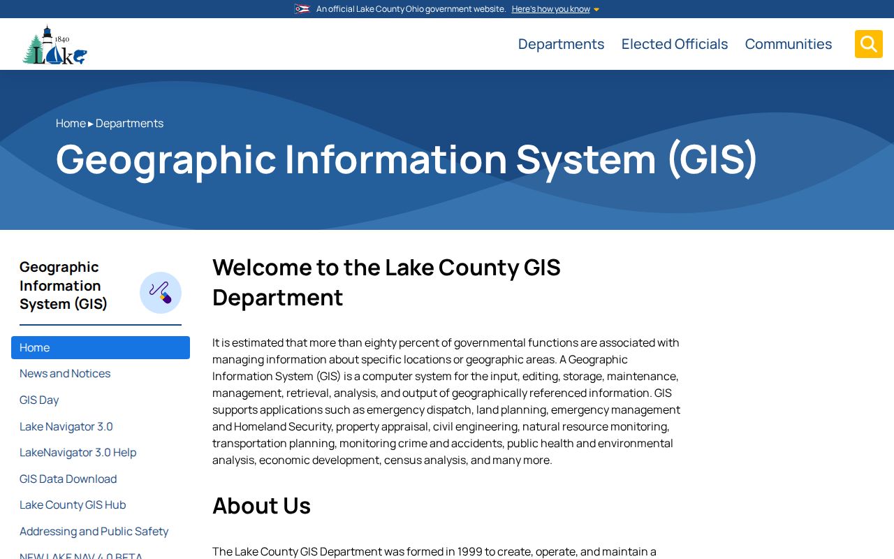
The map is useful for a block's parcel layout, jurisdiction layer, road alignment, and public features. A legal boundary question requires an appropriate survey process, not a line read from the screen.
Mentor Neighbor Record Boundaries
The Auditor and Recorder answer different questions for each nearby parcel. The Auditor can show the parcel's property location, legal description, assessment and tax fields, and tax mailing name and address. The Recorder can show an instrument's type, recording date, and named party roles. Neither field set establishes the current occupants of a parcel. Keep the original field label in notes instead of converting it into a claim about people.
The County's Lake Navigator help explains the Buffer, Near Me, Select, Search Layers, Measurement, and Print tools used for defined geographic work.
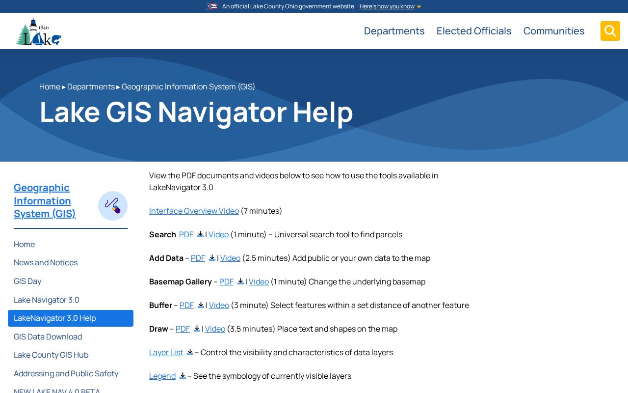
Near Me and Buffer locate public map features around a selected location. They do not authorize a radius search around a person or a protected address, and Navigator's Public Notification function is a County map tool rather than a public neighbor export.
Recorder books begin in 1840, the electronic index begins in 1986, and stated image availability begins in 1987. A missing online item can require the record room or a narrowly described Recorder request. It is not proof that a historical instrument was never recorded.
Mentor Neighbors and Wards
Wards add public representation geography to a Mentor block. The official ward map identifies four wards, but a ward does not reveal a civic group, a neighborhood association, or its members. Use it to understand the City Council representation area that includes a parcel after the parcel and jurisdiction have been checked. It should not be used to label every property in an area as part of a named neighborhood.
The City’s Boards and Commissions page is a public-government context source.
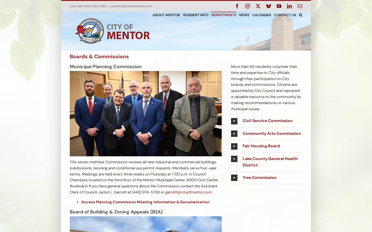
These public bodies are not neighborhood rosters. They can help identify City civic channels and meeting context without claiming that a nearby parcel owner or address belongs to any group.
Mentor Neighbors Civic Context
Public contacts can answer questions about a block's government setting without pretending to be association contacts. The routes below identify the source and the limit of what it can clarify. Use the source that produced the information, and make a defined request when a City record is needed.
| Context | Official Route | What It Can Clarify | Boundary |
|---|---|---|---|
| City ward | Mentor ward map | Public representation geography for the parcel area. | Not a neighborhood membership or contact list. |
| Boards and commissions | City Council page | Public advisory and government bodies. | Not an association directory or list of nearby households. |
| Public facilities | Mentor Parks and Recreation facilities | Place-based public amenities and service context. | Check the current City source for status or access details. |
| City record routing | City contact directory | The department that can handle a defined City record question. | Give an address, date span, and document type; do not request a personal dossier. |
Mentor's City contact route is especially helpful when a map shows a City facility or a property question points to a permit, planning, or code record. The originating department is the custodian for its own records, and a portal limitation is a reason for a targeted request, not a reason to guess.
Mentor Neighbor Tool Comparison
Official parcel and civic sources disclose their custodian, field purpose, and access limits. Commercial neighbor tools are a different category: they may combine records from different dates and places, and their output should not replace the source that created a parcel, court, voter, or municipal record. A careful block question uses the official source for the property or civic fact being checked.
| Category | Useful Question | What to Retain | Key Limit |
|---|---|---|---|
| Official parcel and map sources | Which parcel, public feature, or ward geography is associated with an address? | Parcel identifier, legal-description or layer label, source URL, and access date. | They do not establish a household or legal survey boundary. |
| Official recorded documents | What dated instrument concerns one identified parcel? | Instrument type, recording date, party role, and legal-description match. | A recorded party is not automatically a present location. |
| Commercial neighbor tools | None that displace a primary parcel or civic record. | Do not republish or merge unverified personal claims. | Dates, identity matches, and source provenance can be unclear. |
For Lake County voter information, use the official Board of Elections route and its legal limits. The observed lookup begins with first and last name, is updated daily, and does not justify linking a name to a nearby address.
Mentor Neighbor Lookup Privacy
Ohio Revised Code 3503.13 protects voter-record fields that include Social Security numbers, driver or state ID numbers, telephone numbers, email, confidential-voter information, protected-worker addresses, citizenship documentation, and other protected data. The Safe at Home program protects qualifying participants' address, telephone, and identity information through a substitute-address process. Do not infer a protected physical address from property, map, voter, court, or social traces.
Public access also does not make every detail suitable for redistribution. Avoid personal identifiers, sensitive court and family material, active status pages, and any attempt to recover a redacted address. If a public source has a factual or safety problem, keep the source URL and access date, then contact the custodian or use an appropriate correction route. An absence in a portal is not proof that a person is elsewhere.
Lawful use. Use Mentor neighbor sources for personal, lawful geographic and civic research only. Do not use a record to watch, harass, threaten, or expose anyone.
Mentor Neighbors Postal Context
The County Postal Districts map identifies 44060 as standard delivery for Mentor while showing that the postal district also reaches Mentor-on-the-Lake, part of Concord, and part of Kirtland Hills. A Mentor, Ohio 44060 mailing line therefore does not confirm City of Mentor jurisdiction or a ward. Confirm the specific parcel through the Auditor and Lake Navigator.
Use the USPS ZIP lookup for a current mailing question. Use the County parcel and map tools for City geography. Keeping those two tasks separate prevents a postal label from becoming a claim about a block or its neighbors.
Note: Postal delivery geography can cross City lines, so a ZIP code should never substitute for parcel or jurisdiction review.